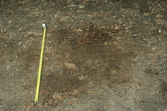
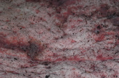
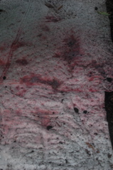
Oil spill at the start of Cricket Hill Extension. Size about 4 feet by 4 feet.
Oil spill at start of Cricket Hill Extension. Most of this ran down Cricket Hill Road during the Spring of 2008.
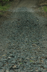
Small basalt rocks used in Town Farm logging operation. This makes foot traffic difficult for people, dogs, and I believe, also for horses
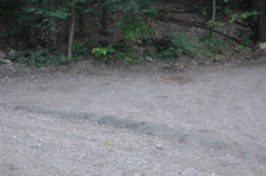
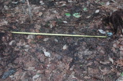
Project supervisor removed saturated leaf litter from this depression. Size about 3 feet by 8 feet.
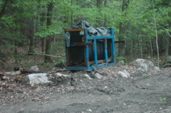
A skidder or forwarder was parked in this spot and leaked hydraulic fuel. This is in or near a vernal pool depression.
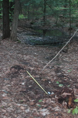
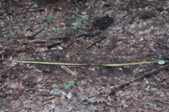
You can see the vernal pool in the background. The pool is much closer or even part of the area during wetter years and months.
This diesel fuel tank was previously parked next to the vernal pool.
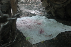
Hydraulic fuel leaking out of logging machinery onto absorbent pad. Previously to my complaints, the vehicles were leaking directly onto the forest level.
Hydraulic fuel leaking out of logging machinery onto absorbent pad. Previously to my complaints, the vehicles were leaking directly onto the forest level.
Hydraulic fuel leaking out of logging machinery onto absorbent pad. Previously to my complaints, the vehicles were leaking directly onto the forest level.
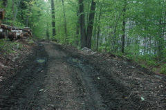
This shows the landing area where logs are loading onto log carriers. This area has had frequent hydraulic oil spills. You can see the wetland area in the background. 304 CMR regulations say that "Minimize the use of heavy equipment within 200 feet of streams and other water bodies." It appears that the landing was moved from the original cutting plan. I am trying to determine why it was moved. It seems like a bad idea to have the landing adjacent to a large wetland system especially when vehicles are leaking petrochemicals.
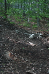
Logging machinery has also been parked here close to the wetland area.